Polar Vortex Splits at Record-Earliest Date — But No US Freeze Is Coming Yet
By Ahmed Khan | November 7, 2026 | Updated November 7, 2026 Yes, the polar vortex really has split at the earliest date on record — and no, that does not mean a US freeze is coming this week. The disruption is happening roughly 10 to 30 miles above the North Pole, and what happens…

Yes, the polar vortex really has split at the earliest date on record — and no, that does not mean a US freeze is coming this week. The disruption is happening roughly 10 to 30 miles above the North Pole, and what happens up there usually takes weeks to reach the ground. Right now the coldest air is pooling over Eastern Europe and Siberia while North America stays warmer than average.
A strengthening El Niño is why November still leans mild. Any real cold from this split is more likely in late November or December — if it arrives at all. Here is what actually happened, and what to watch for around Thanksgiving.
| Key fact | What we know |
|---|---|
| What happened | The Arctic polar vortex has been disrupted at the earliest point in a calendar year on record, in a sudden stratospheric warming (SSW) underway in early November 2026. |
| When | DTN reported the split developing on 3 November 2026; FOX Weather said a major disruption could occur as early as 8 November. ECMWF scientists told AFP on 6 November it was the earliest stratospheric vortex disruption ever observed. |
| What the polar vortex is | A band of strong winds circling the North Pole roughly 10 to 30 miles up in the stratosphere. When it weakens or splits, cold air can eventually spill south — but only after a lag of weeks. |
| US impact now | None yet. Models show no major cold-air outbreak in the near term; North America stays warmer than average while the coldest air pools over Eastern Europe and Siberia. |
| Europe and Siberia | The coldest air is heading their way first. Colder spells become more likely in northern and central Europe later in November and December, though how severe they will be is far from clear. |
| El Niño’s role | El Niño is the dominant driver of the November pattern, keeping a ridge over North America. It is strengthening and could be declared a Super El Niño later in 2026. |
| Thanksgiving watch | Thanksgiving falls on Thursday, 26 November 2026. An early cold blast around then is possible to watch for, but forecasters say it faces “major headwinds” and is not the most likely outcome. |
What Actually Happened Above the Arctic
On 3 November, DTN meteorologist John Baranick reported the developing stratospheric vortex splitting in two, about 20 miles up — one lobe shifting toward Russia, the other toward Canada, as a high-pressure ridge built over the Pole. FOX Weather reported the same signal, updated 5–6 November: the vortex had been disrupted at the earliest point in a calendar year on record, with a major disruption possible as early as 8 November.
MIT climatologist Judah Cohen called it “the largest, earliest disruption of the polar vortex on record”, and on 6 November ECMWF scientists told AFP it was the earliest stratospheric vortex disruption ever observed. Major warmings usually arrive in January or February; a November one has happened only three times since the 1950s — in 1958, 1968 and 2025, each on 28 November. Models agree, with 96 percent of European members showing a wind reversal by 11 November. Why it came so early is not settled.
What Is the Polar Vortex — and What Is a Sudden Stratospheric Warming?
The polar vortex is a large area of cold air and low pressure in the stratosphere above the Arctic, wrapped by strong winds that circle the North Pole from west to east. It sits roughly 10 to 30 miles above the ground — far above the weather we live in — and it normally strengthens through autumn, peaks around January, and weakens mainly between January and March.
A sudden stratospheric warming, or SSW, happens when large atmospheric waves surge upward and warm the polar stratosphere rapidly, sometimes by as much as 120 degrees Fahrenheit in a few days. That warming weakens or reverses the vortex’s winds, and the vortex can split apart. The catch is the word “eventually”: a split up there does not slam cold air into your backyard the next morning. It must work down into the jet stream, a journey that usually takes two to three weeks — sometimes longer, sometimes never.
Why the Split Does Not Mean a Freeze Is Coming
Three problems stand between a split vortex and a US freeze. First, there is barely any cold air in position: temperatures across Canada and Alaska are above normal and forecast to stay that way, and as Baranick put it, “any sources of cold air don’t really exist outside of Siberia”. Even there, temperatures are forecast to rise above normal next week. It is simply too early in the season for the Arctic to be a serious source of cold.
Second, the lag is real. FOX Weather’s Forecast Center says surface impacts, if any, usually take several weeks to develop, and its models show no major cold-air outbreak in the near term. The split takes two to three weeks to complete, putting any cold burst around Thanksgiving at the earliest; Cohen said he would not expect impacts “until sometime in December”. Third, many long-range models keep this SSW confined to the stratosphere — Baranick wrote that if there are any surface impacts, “it would be for Europe and Asia to see the effects of the SSW, and not North America”.
The Other Side of the Tug-of-War: El Niño
If the polar vortex is pulling winter one way, El Niño is pulling it the other — and right now El Niño is winning. NOAA’s Climate Prediction Center reported on 8 October that the Niño-3.4 index had reached +2.1°C, with an 83 percent chance of a strong to very strong El Niño continuing through October to December. FOX Weather expects a rapidly strengthening El Niño, potentially a Super El Niño declaration later this year; the CPC’s next ENSO update is due Thursday, 12 November.
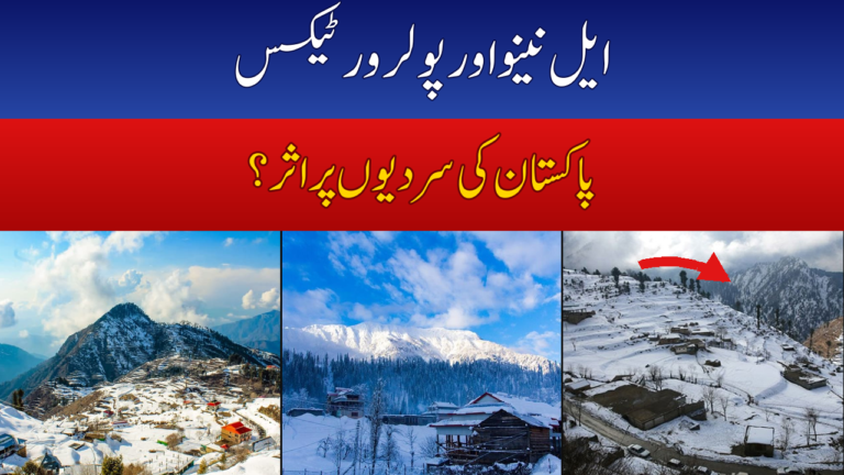
El Niño’s fingerprint is all over the current pattern: a ridge of high pressure over North America and a trough near Alaska, feeding mild Pacific air across the continent. Baranick wrote that El Niño “is firmly in control of the weather pattern over North America and is not forecast to relent any time soon”. The result is a tug-of-war for the winter ahead: a record-early vortex disruption on one side, a near-record El Niño on the other. For readers in Pakistan, the same tug-of-war shapes the coming winter, as we explained in our look at what El Niño and the polar vortex could mean for Pakistan’s winter 2026.
What the November Outlook Actually Says
NOAA’s November 2026 outlook, published around 3 November, is unusually clear: no part of the contiguous US or Alaska is favoured for a cooler-than-average November. Only Arizona, New Mexico and Texas sit in the “equal chances” zone; everywhere else leans warm, with the highest odds across the northern tier.
Rainfall leans wetter rather than drier across large parts of the Lower 48 and southern coastal Alaska, especially the Southwest and parts of the Upper Midwest, while western Alaska, the Northern Rockies and parts of Michigan lean drier. theweather.com, summarising the same outlook on 1 November, noted stormy jet-stream weather bringing above-average precipitation — and heavy snow through the Cascades in the second week of November, also flagged in NOAA’s hazards outlook for 7–11 November.
AccuWeather’s Alex Sosnowski reached the same conclusion. In a forecast published on 30 October and updated on 1 November, he wrote that no frigid air outbreaks were coming to the United States in November despite the polar vortex being on the move. Temperatures will dip in the first half of November, but far less intensely than a traditional Arctic outbreak, and the coldest air is moving toward Siberia, not North America. The Southwest may see the biggest changes.
Thanksgiving 2026: What to Watch
Thanksgiving falls on Thursday, 26 November 2026, and it is the date every forecaster is circling: the two-to-three-week lag from the split points almost exactly at the holiday week. The answer is still “probably not, but watch it”. Baranick’s warning is the one to remember: an early cold blast around Thanksgiving is possible, but it faces “major headwinds” and is not the most likely outcome.
AccuWeather added a practical note: some eastern US ski resorts may struggle to open for Thanksgiving — not from a freeze, but from too little cold for snowmaking. One longer-range signal matters: NOAA’s outlook discussion noted that a November SSW, if it couples to the surface, can favour a negative Arctic Oscillation for weeks afterward, with impacts visible for up to two months. That is the real risk window: not this week, and probably not Thanksgiving, but late November into December.
When Could the Cold Actually Arrive?
The honest timeline: in the first half of November, expect a gradual cool-down in parts of the US, a stormy and snowy West Coast, and above-average temperatures almost everywhere else. Around Thanksgiving, watch for a possible — but not likely — cold blast, with the odds stacked against it by El Niño and the lack of cold air over Canada. In December, the picture becomes genuinely uncertain: if the disruption couples down to the surface and the Arctic Oscillation turns negative, colder spells become more likely in the eastern US and northern and central Europe. Europe is the more likely first destination for any cold.
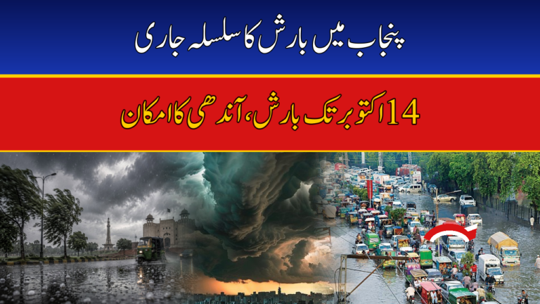
For Pakistan, the immediate story is very different. The Pakistan Meteorological Department’s November 2026 rainfall outlook sets out what to expect here this month, while the Punjab rain alert from the PDMA showed how quickly conditions can change across Lahore and Rawalpindi. The vortex story matters for Pakistan mainly through the winter ahead, not this week’s weather.
The Bottom Line
The polar vortex has split at the earliest date on record — a real event, not hype. It is also not a freeze. The disruption is 10 to 30 miles up, the cold air it would need is parked over Siberia rather than Canada, El Niño is holding a warm ridge over North America, and every major forecasting centre says November will end up warmer than average in the US. The record matters because it loads the dice for later: late November and December carry a higher chance of cold spells. But dice are not destiny, and anyone telling you a record-early split means a record freeze this week is selling you a headline, not a forecast.
Keep watching the two checkpoints that will settle it: the CPC’s next ENSO update on 12 November, and the model runs through Thanksgiving week, which will show whether the split is finally coupling down to the surface. If both point the same way, December could turn interesting. Until then, the forecast is the boring-sounding one: mild, wet in places, stormy on the West Coast — and no freeze yet.
Frequently Asked Questions
What is the polar vortex?
The polar vortex is a large area of cold air and low pressure in the stratosphere above the Arctic, wrapped by strong winds that circle the North Pole from west to east, roughly 10 to 30 miles above the ground. It normally strengthens through autumn, peaks around January, and weakens between January and March. When it weakens or splits, cold air can eventually spill southward — but the effects take weeks to reach the surface, if they do at all.
Has the polar vortex really split at the earliest date on record?
Yes. FOX Weather reported on 3 November, updated 5–6 November, that the vortex had been disrupted at the earliest point in a calendar year on record, with a major disruption possible as early as 8 November. DTN reported the split developing on 3 November, and ECMWF scientists told AFP on 6 November it was the earliest stratospheric vortex disruption ever observed. The previous November sudden stratospheric warmings — in 1958, 1968 and 2025 — all came on 28 November, weeks later than this one.
Does a polar vortex split mean a freeze is coming?
No, not by itself. A split happens 10 to 30 miles up in the stratosphere, and its effects usually take two to three weeks to work down into the jet stream — and sometimes they never do. Right now there is also very little cold air in position over Canada and Alaska to invade the United States, and a strengthening El Niño is holding a warm ridge over North America. FOX Weather’s Forecast Center says models show no major cold-air outbreak in the near term.
Will the US get cold for Thanksgiving 2026?
Probably not. Thanksgiving falls on Thursday, 26 November 2026, and while the two-to-three-week lag from the early-November split points at that week, DTN meteorologist John Baranick says an early cold blast around Thanksgiving faces “major headwinds” and is not the most likely outcome. NOAA’s outlook favours a warmer-than-average November across the US, and AccuWeather says no frigid air outbreaks are coming in November. Some eastern ski resorts may even struggle with too little cold for snowmaking.
Why is November still warm if the polar vortex is splitting?
Because El Niño is the dominant driver of the November pattern. The tropical Pacific warming — Niño-3.4 at +2.1°C, with an 83 percent chance of a strong to very strong El Niño continuing through October to December — keeps a ridge of high pressure over North America that feeds mild Pacific air across the country. NOAA’s Climate Prediction Center says no part of the contiguous US or Alaska is favoured for a cooler-than-average November, with the highest odds of warmth across the northern tier.
What is a sudden stratospheric warming (SSW)?
A sudden stratospheric warming is a rapid warming of the polar stratosphere, caused by large atmospheric waves surging upward from the lower atmosphere. Temperatures up there can jump by tens of degrees in a matter of days, weakening or reversing the winds that hold the polar vortex together and sometimes splitting it in two. Most SSWs happen in mid-to-late winter; an early-November one is exceptionally rare, which is why this event has drawn so much attention.
When could the cold actually arrive in the US?
If it comes at all, late November or December is the window. FOX Weather says any US cold impacts would likely take several weeks to develop, and MIT climatologist Judah Cohen said he would not expect to see the impacts “until sometime in December”. A November SSW that couples to the surface can favour a negative Arctic Oscillation for weeks afterward, which tilts the odds toward colder spells in the eastern US and northern Europe — but it is a shift in the odds, not a guaranteed freeze.