El Niño and the Polar Vortex Explained: What Winter 2026–27 Could Mean for Pakistan
Two of the biggest names in world weather — El Niño and the polar vortex — are suddenly in the same headline. The Pacific is heating up toward what may be the strongest El Niño on record, while high above the Arctic a powerful polar vortex is building — and forecasters warn it could wobble…
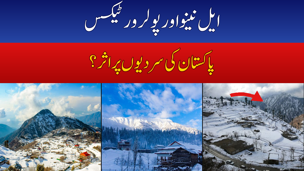
Two of the biggest names in world weather — El Niño and the polar vortex — are suddenly in the same headline. The Pacific is heating up toward what may be the strongest El Niño on record, while high above the Arctic a powerful polar vortex is building — and forecasters warn it could wobble later in winter. Here is what these two giants of the atmosphere actually are, and what they could — and could not — mean for Pakistan’s coming winter.
Why “El Niño Polar Vortex” Is Trending Right Now
The trigger came from the US National Oceanic and Atmospheric Administration. In its September 10, 2026 ENSO Diagnostic Discussion, NOAA’s Climate Prediction Center said there was a greater than 90% chance of a “very strong” El Niño during the Northern Hemisphere fall and winter of 2026–27 — and put the odds at 75% that the October–December 2026 period reaches a historic-strength threshold, exceeding every El Niño since records began in 1950. The agency did caution, though, that with an event this size, El Niño-style impacts are “larger, though not guaranteed.”
At the same time, a second story broke: the stratospheric polar vortex is forming stronger than normal over the Arctic. The UK Met Office added its own warning — after a record El Niño peaks, the vortex can weaken in the latter part of winter, raising the odds of Sudden Stratospheric Warming (SSW) events and with them, cold snaps. Two giant systems, both pulling at winter weather at once. That combination is what set search trends on fire, including here in Pakistan.
What Is El Niño, Really?
Think of the tropical Pacific Ocean as a giant battery for the planet’s weather. In a normal year, trade winds blow from east to west, piling warm surface water up around Indonesia and Asia while cold water rises off South America. Every few years, those trade winds weaken. Warm water sloshes back toward the east, and the whole tropical Pacific runs hotter than normal. That warm phase is El Niño. Its cool-phase opposite — when the Pacific runs colder than normal — is La Niña. Together they form ENSO, the El Niño–Southern Oscillation.
This matters far beyond the Pacific because the tropical ocean is the engine room of the atmosphere. Shift where the warmest water sits, and you shift rainfall, storm tracks, and jet streams across entire continents. Which is why an El Niño can touch weather in places as far apart as California, East Africa — and Pakistan.
How Strong Is This El Niño? The Numbers
| Measure | What forecasters say |
|---|---|
| Chance of “very strong” event, fall/winter 2026–27 | Greater than 90% (NOAA Climate Prediction Center, Sept 10, 2026) |
| Chance of historic strength, Oct–Dec 2026 | 75% — would exceed all El Niños since 1950 |
| Niño-3.4 sea temperature anomaly | +2.1°C in September 2026, up from +1.8°C in August |
| Expected peak | Around December 2026 (WMO multi-model assessment) |
| How long it lasts | Likely through February 2027, at near-certain probability |
For perspective: the last truly big El Niños were 1997–98 and 2015–16, both of which pushed global temperatures to new records. If this one peaks as forecast, it could outrank them all.
What Is the Polar Vortex?
Forget the scary name for a moment. The polar vortex is simply a huge ring of fast winds circling high above the poles — 10 to 30 miles up in the stratosphere, the second layer of the atmosphere. It is there all year, but it strengthens each winter as the Arctic loses sunlight, acting like a fence that keeps the coldest air locked around the North Pole. When the fence holds, the rest of the Northern Hemisphere stays relatively mild. When it breaks down or stretches, Arctic air escapes southward — and that is when parts of the US, Europe, or Asia can get slammed by severe cold.
The trigger for a breakdown is often a Sudden Stratospheric Warming (SSW): temperatures high over the Arctic can jump by around 50°C in just a few days. That warms, displaces, or even splits the vortex, and within one to three weeks the disruption can reach down into the weather layer and bend the jet stream — opening the door for cold air to spill south. Critically, an SSW does not guarantee cold anywhere specific; it only changes the odds.
The Big Question: What Does All This Mean for Pakistan’s Winter?
Here we need to be honest, because this is where confident claims on social media most often fall apart. Pakistan’s Meteorological Department has not yet issued a confirmed winter (December–February) outlook tied to this El Niño. What PMD has published is its October–December seasonal outlook, which points to a warmer-than-usual end of the year: above-normal mean temperatures over most of the country, normal to above-normal rainfall in the north, near-to-below normal in central and southern regions, a late winter arrival, and a heightened risk of fog and smog in the plains.
So what does history say about El Niño and Pakistan’s winter in general terms? Pakistani weather experts have long noted a broad pattern: during El Niño, Pakistan tends to see reduced winter rainfall and milder-than-normal winters, with weaker western disturbances and less snowfall in the north — while La Niña years have more often been linked to wetter, harsher winters. That is a tendency, not a rule.
| ENSO phase | Typical Pakistan-winter tendency (general guidance) |
|---|---|
| El Niño | Tends toward reduced winter rainfall, milder winters, weaker western disturbances, less snowfall in northern areas |
| La Niña | Historically linked to more active monsoons and, in winter, colder spells with heavier northern snowfall |
| Neutral | Winter behavior driven by local systems (western disturbances, jet stream) with no single dominant push |
As for the polar vortex: its disruptions matter most for the North Atlantic, North America, and Europe, which sit directly in the path of spilling Arctic air. Pakistan’s winter weather is steered mainly by western disturbances — storm systems travelling in from the Mediterranean — and by the subtropical jet stream. A wobbly vortex does not directly control whether Islamabad gets rain or Lahore gets fog.
Bottom Line for Pakistan
The world is genuinely watching a potentially historic El Niño, and the polar vortex story adds real mid-winter wildcards for the US and Europe. For Pakistan, the honest position right now is this: El Niño tends to tilt our winters toward milder and drier, PMD’s current seasonal outlook leans warm with a late start to winter and more smog, and no agency has confirmed how deep this winter’s cold will go. Anyone telling you otherwise is guessing. We will update this as PMD releases its full winter outlook.
FAQs
What is the polar vortex?
A large ring of cold, fast winds circling high in the stratosphere above the North Pole. In winter it strengthens and traps Arctic air near the pole. When it weakens or breaks down — often after a Sudden Stratospheric Warming — Arctic air can spill southward and trigger cold snaps in parts of the Northern Hemisphere.
What is El Niño?
The warm phase of the ENSO cycle: trade winds weaken, warm water spreads across the tropical Pacific, and the planet’s storm tracks and jet streams shift worldwide. La Niña is its cool-phase opposite. El Niño events typically last about a year and influence weather on every continent.
Why is “El Niño polar vortex” trending in Pakistan?
NOAA’s September 2026 advisory said there is a greater than 90% chance of a very strong El Niño this winter, possibly the strongest since 1950, at the same time forecasters warned the Arctic polar vortex could weaken mid-to-late winter and bring cold snaps. The combination made global headlines — and Pakistani social media picked it up fast.
Will this El Niño make Pakistan’s winter colder?
No agency has confirmed that. Historically, El Niño tends to push Pakistan toward milder, drier winters — the opposite of what viral posts claim. But every event behaves differently, and PMD has not issued a confirmed winter-specific forecast for this El Niño. Treat viral “coldest winter ever” claims with suspicion.
How can the polar vortex affect Pakistan?
Only indirectly, if at all. Vortex disruptions mainly hit North America, Europe, and the North Atlantic. Pakistan’s winter weather is driven by western disturbances from the Mediterranean and the subtropical jet stream, not directly by Arctic air spilling south.
How strong could this El Niño get?
NOAA gives a 75% chance that October–December 2026 reaches a historic-strength threshold that would exceed every El Niño since 1950. The WMO projects a peak around December 2026 and near-certain persistence through February 2027.
What does PMD say about this winter?
PMD’s current October–December seasonal outlook points to above-normal mean temperatures over most of the country, a late winter arrival, normal-to-above-normal rainfall in the north, below-normal in central and southern regions, and worsening fog and smog in the plains.