
Panama Earthquake: 7.7 Magnitude Quake Triggers ‘Major Disaster’, Tsunami Warning Lifted
A powerful 7.7-magnitude earthquake rocked Panama on Friday, October 9, 2026, collapsing buildings and roads in the center of the country. President José Raúl Mulino has declared a “major disaster,” warning that some roads have “completely collapsed.” Tsunami warnings issued across the Pacific have now been lifted. Panama Earthquake — Key Facts Detail Information Magnitude…
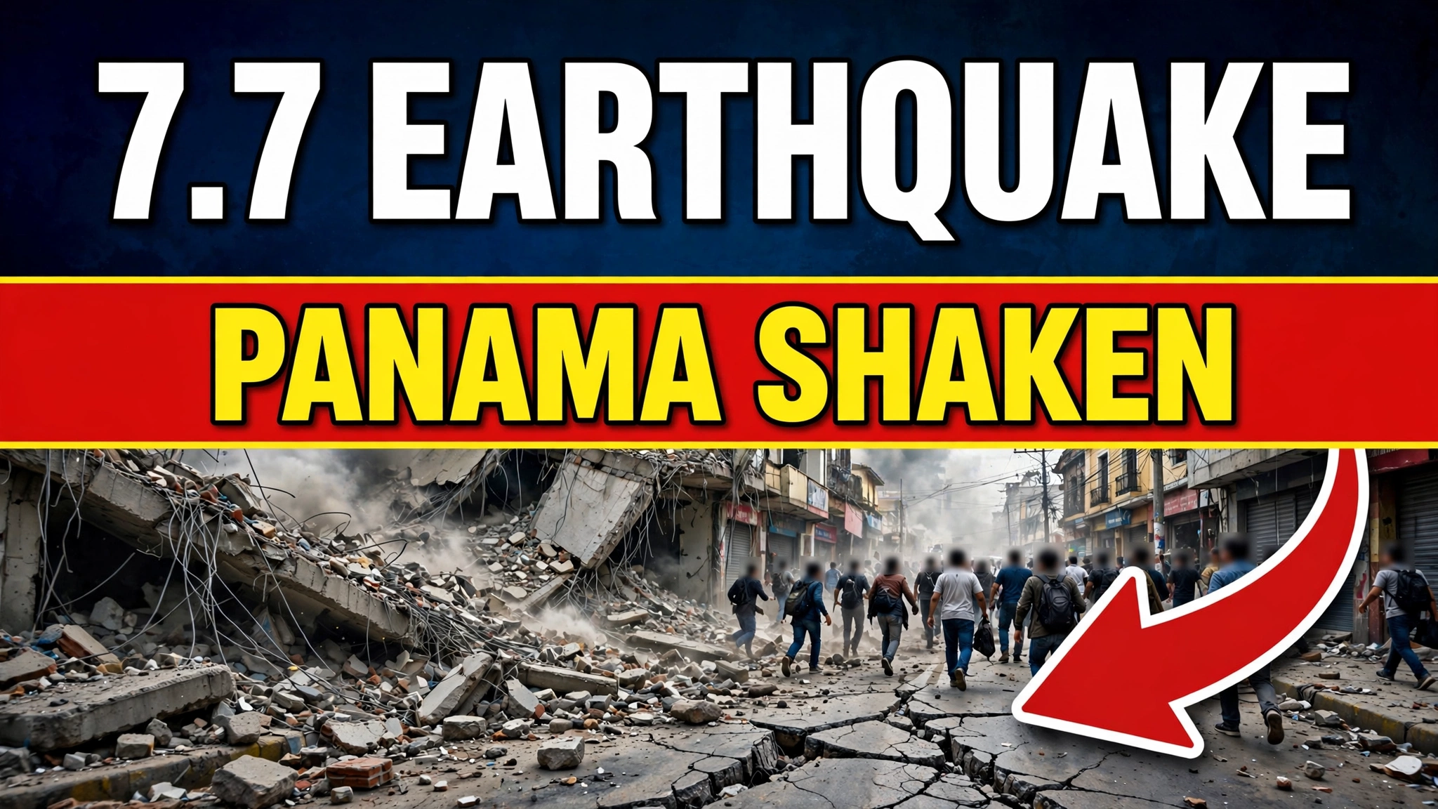
A powerful 7.7-magnitude earthquake rocked Panama on Friday, October 9, 2026, collapsing buildings and roads in the center of the country. President José Raúl Mulino has declared a “major disaster,” warning that some roads have “completely collapsed.” Tsunami warnings issued across the Pacific have now been lifted.
Panama Earthquake — Key Facts
| Detail | Information |
|---|---|
| Magnitude | 7.7 (USGS; initially estimated at 8.0) |
| Time | 12:56 PM local time (17:56 UTC), October 9, 2026 |
| Epicenter | Near Pitaloza Arriba, Herrera province, Azuero Peninsula |
| Depth | ~12.6 km (shallow — more destructive) |
| Casualties | 16+ injured reported; no deaths confirmed so far |
| Aftershocks | Multiple — including a second quake of magnitude 6.6, plus 5.8 and 5.5 tremors |
| Tsunami | Warnings issued for 9 countries, later lifted — no major tsunami occurred |
| Panama Canal | Operating normally, authority confirms |
“We Are Facing a Major Disaster”
President Mulino did not mince words. Traveling to the hard-hit city of Penonomé to coordinate the response, he confirmed that buildings and roads had collapsed in central Panama. In Penonomé, verified footage showed a damaged church and nearby buildings reduced to rubble. Impacts were also reported in Chitré, the capital of Herrera province, and along the coast in Los Santos.
The tremor lasted around a minute — an eternity in an earthquake — and was felt across the entire country of 4.5 million people, as far as San José in neighboring Costa Rica. In Panama City, some 200 km from the epicenter, panicked residents poured out of the capital’s skyscrapers. One widely shared video showed water sloshing from a rooftop pool atop a 20-plus-story building; another showed a bridge over the Panama Canal shaking violently as vehicles crossed — though the canal itself kept operating normally.
Tsunami Warnings Issued — Then Lifted
The US Tsunami Warning System initially warned that hazardous waves could strike the coasts of Panama, Colombia, Costa Rica, Ecuador, Peru, Nicaragua, Guatemala, Mexico, and El Salvador within three hours, with alerts extending as far as Chile’s Easter Island and a potential threat noted for Hawaii. University of Panama geoscientists said waves of 1–3 meters were possible around Isla Cañas and the southern Los Santos coast — and seawater did reach some coastal homes there.
By Friday evening, the threat had passed. The US National Weather Service lifted all tsunami warnings, confirming no major tsunami was generated. New Zealand’s emergency agency likewise confirmed no threat to its shores.
International Response
Offers of help flooded in from across the Americas. US Secretary of State Marco Rubio said Washington was “rapidly mobilizing resources and personnel to assist” at Panama’s request. The presidents of Chile, Uruguay, Guatemala, Colombia, Costa Rica, Ecuador, and Peru all offered support. Notably, Panama had been scheduled to hold a national earthquake evacuation drill next Monday — the real thing arrived three days early.
FAQs
How strong was the Panama earthquake?
Magnitude 7.7 according to the USGS, which first estimated it at 8.0. It struck at a shallow depth of about 12.6 km, which increases its destructive power.
Where exactly did it hit?
The epicenter was near the rural town of Pitaloza Arriba in Herrera province, on Panama’s Azuero Peninsula — about 200 km from Panama City. The worst damage is in central Panama: Penonomé, Chitré, and Los Santos province.
Is there a tsunami danger now?
No. Tsunami warnings for nine countries were issued after the quake but have all been lifted. No major tsunami occurred, though seawater reached some homes near Isla Cañas.
Is the Panama Canal affected?
No. The Panama Canal Authority confirmed shipping through the canal is operating normally, with technical teams inspecting facilities as a precaution.
How many people were hurt?
At least 16 injuries have been reported. No deaths had been confirmed at the time of publishing, though damage assessment is still underway.